NetLink-Alias Advanced GeoData 5
Free Version
Publisher Description
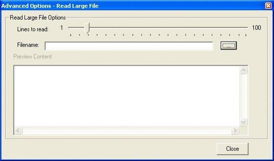
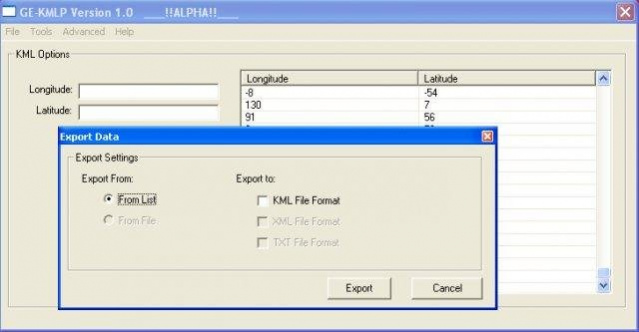
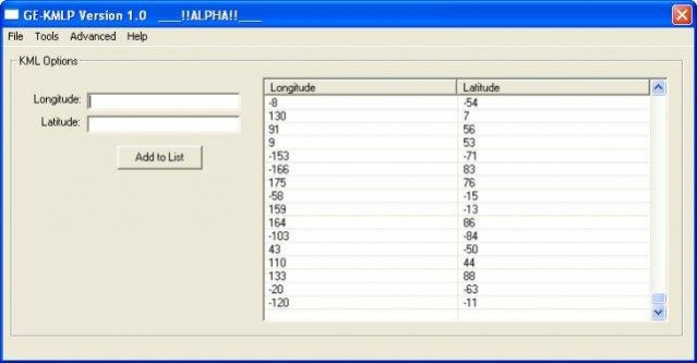
Application for converting raw data into longitude, latitude and other coordinates with integration into KML, GPX, GML and other formats. Uses large file support for MS Windows and provides real-time processing of data from websites, and etc...
About NetLink-Alias Advanced GeoData
NetLink-Alias Advanced GeoData is a free software published in the Geography list of programs, part of Education.
This Geography program is available in English. It was last updated on 19 March, 2024. NetLink-Alias Advanced GeoData is compatible with the following operating systems: Linux, Mac, Windows.
The company that develops NetLink-Alias Advanced GeoData is aurorus. The latest version released by its developer is 5. This version was rated by 1 users of our site and has an average rating of 5.0.
The download we have available for NetLink-Alias Advanced GeoData has a file size of 53.44 KB. Just click the green Download button above to start the downloading process. The program is listed on our website since 2005-10-12 and was downloaded 157 times. We have already checked if the download link is safe, however for your own protection we recommend that you scan the downloaded software with your antivirus. Your antivirus may detect the NetLink-Alias Advanced GeoData as malware if the download link is broken.
How to install NetLink-Alias Advanced GeoData on your Windows device:
- Click on the Download button on our website. This will start the download from the website of the developer.
- Once the NetLink-Alias Advanced GeoData is downloaded click on it to start the setup process (assuming you are on a desktop computer).
- When the installation is finished you should be able to see and run the program.
